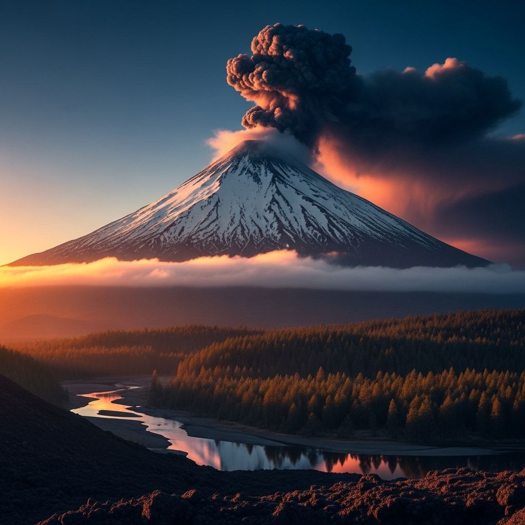
Which US Volcanoes Are Most Likely to Erupt Next?
Discover the most hazardous volcanoes in the US, the science behind eruption predictions, and how experts monitor volcanic threats across the country.

nn
Volcanoes shape landscapes, nurture ecosystems, and present profound risks to people living in their shadows. The United States is home to more than a hundred young volcanoes, with dozens deemed capable of erupting within our lifetimes. Understanding which volcanoes pose the highest risks and how these risks are managed is vital for public safety, scientific planning, and disaster preparedness.
nn
Volcanic Risk in the United States
n
With approximately 170 young or active volcanoes, the United States ranks among the most volcanically dynamic countries in the world. The US Geological Survey (USGS) has identified that about half of these volcanoes are considered dangerous due to their eruption style and the number of people living nearby. Unlike threats that can be entirely averted, volcanic hazards must be carefully managed, making monitoring and understanding volcanic activity essential for risk mitigation.
nn
How Scientists Assess Volcanic Threat
n
Not all volcanoes carry equal risk. Several factors determine which volcanoes are most likely to erupt and which pose the greatest hazard to life and property:
n
- n
- Frequency of Past Eruptions: Volcanoes with a history of frequent eruptive activity are generally more likely to erupt again in the foreseeable future.
- Population at Risk: Volcanoes located near large urban areas or critical infrastructure pose a higher societal risk.
- Type of Eruptive Behavior: Volcanoes that erupt explosively, generating widespread ash, pyroclastic flows, or lahars, can bring greater risks than those erupting effusively.
- Monitoring Data: Seismic activity, ground deformation, and gas emissions are key indicators of potential eruptive activity.
n
n
n
n
nn
Using these factors, the USGS periodically conducts national volcanic threat assessments. The most recent comprehensive review was published in 2018, ranking volcanoes by relative threat based on both hazard (the likelihood and severity of eruptions) and exposure (the number of people and property in harm’s way).
nn
The National Volcanic Threat Assessment
n
The 2018 USGS National Volcanic Threat Assessment established a list of the country’s most dangerous volcanoes. The assessment categorizes 161 U.S. volcanoes by overall threat, ranging from “Very High Threat” to “Low to Very Low Threat” based on a quantitative analysis of more than two dozen factors, including historic activity, proximity to people, and infrastructure vulnerability.
n
Volcanoes grouped in the “Very High Threat” category are prioritized for close monitoring and risk mitigation, as their eruptions could have severe consequences for nearby communities and, in some cases, the nation as a whole.
nn
Key Factors in Threat Ranking
n
- n
- Eruption history and likelihood
- Size and type of eruptions expected
- Proximity to people, infrastructure, and aviation routes
- Potential for secondary hazards (like lahars or landslides)
- Existing monitoring infrastructure
n
n
n
n
n
nn
America’s Most Threatening Volcanoes
n
The following volcanoes—each classified as “Very High Threat”—are considered most likely to erupt with potentially serious consequences:
nn
- n
- Kīlauea (Hawai’i)
- Mount St. Helens (Washington)
- Mount Rainier (Washington)
- Redoubt Volcano (Alaska)
- Mount Shasta (California)
- Mount Hood (Oregon)
- Three Sisters (Oregon)
- Mount Spurr (Alaska)
- Lassen Volcanic Center (California)
- Augustine Volcano (Alaska)
n
n
n
n
n
n
n
n
n
n
nn
Let’s explore what makes each of these volcanoes noteworthy—and why scientists are keeping a close watch on them.
nn
Kīlauea, Hawai’i
n
Kīlauea, located on the southeastern side of the Big Island, is the most active volcano in the US and among the most active on Earth. It has been erupting frequently for decades, with its most dramatic episode occurring in 2018. Eruptions are often accompanied by lava flows that threaten local communities, disrupt services, and damage roadways. The island’s dense monitoring network provides some of the world’s best real-time eruption data.
nn
Mount St. Helens, Washington
n
Mount St. Helens is infamous for its cataclysmic 1980 eruption, which destroyed vast forest areas, triggered deadly landslides, and spread ash across much of the US. The volcano remains highly active, exhibiting frequent earthquakes, dome growth, and steam explosions since the major event. Its continuing activity and history make it a prime candidate for a future eruption.
nn
Mount Rainier, Washington
n
Mount Rainier towers above the Seattle-Tacoma metro area and is capped with massive glaciers. While it doesn’t erupt as often as Kīlauea or Mount St. Helens, it poses an enormous risk due to the threat of rapid lahars—volcanic mudflows that, if generated by an eruption or even by glacial melting, could reach populated valleys with little warning.
nn
Redoubt Volcano, Alaska
n
Redoubt Volcano last erupted explosively in 2009, sending plumes of ash high into the air and temporarily closing Anchorage’s major airport. It ranks high in threat due to its frequent and explosive eruptions and proximity to both communities and critical trans-Pacific air traffic corridors.
nn
Mount Shasta, California
n
Mount Shasta is the second highest volcano in the Cascades and has produced several large eruptions in the last several thousand years. Surrounding towns, major highways, and essential water supplies face risks from future activity, making close monitoring essential.
nn
Mount Hood, Oregon
n
Mount Hood is Oregon’s highest peak and last erupted in the 1800s. As Portland’s recreational backyard, with thousands of visitors each year and towns at its base, a significant eruption could result in cascading hazards, from mudflows to ashfall.
nn
Three Sisters, Oregon
n
The Three Sisters complex covers a cluster of volcanoes in central Oregon. While their latest major eruptions date back several centuries, recent uplift, seismicity, and geothermal activity indicate the area is restless, prompting increased monitoring in recent decades.
nn
Mount Spurr, Alaska
n
Mount Spurr last erupted explosively in 1992, spreading ash over Anchorage. Its close proximity to aviation routes and large population centers keeps it near the top of the threat list.
nn
Lassen Volcanic Center, California
n
The Lassen Volcanic Center last erupted between 1914 and 1921, creating new vents and lava domes. It looms over populated areas in northern California, with the ability to send ash, lava, and deadly mudflows downstream.
nn
Augustine Volcano, Alaska
n
Augustine Volcano, located in southern Alaska, has erupted repeatedly over the past few decades, with a notable event in 2006. Volcanoes in Alaska threaten not only nearby towns, but also the dense traffic of aircraft over the North Pacific.
nn
Secondary Threats: Not Just Eruptions
n
Volcanoes pose dangers beyond just lava flows and ash. Secondary hazards can be deadly and, in some cases, more destructive than the initial eruption. Key secondary threats include:
n
- n
- Lahars (volatile mudflows that can travel great distances at high speeds and overwhelm communities)
- Pyroclastic flows (hot clouds of ash and gases that incinerate everything in their path)
- Landslides and debris avalanches
- Volcanic gas emissions (carbon dioxide, sulfur dioxide, and other gases pose health hazards and environmental impacts)
- Climate interactions (extreme rainfall can trigger eruptions, dome failures, or lahars)
n
n
n
n
n
nn
Climate Change and Volcano Hazards
n
Recent research indicates that climate change, especially increased heavy rainfall, may worsen volcanic hazards. Extreme rainfall events can trigger volcanic explosions, dome collapses, and landslides—even at previously quiet volcanoes. Future increases in rainfall could mean that countless volcanoes, including many in the United States, are more likely to experience rainfall-triggered hazards, such as sudden lahars or landslides. This highlights the importance of integrating climate trends into eruption forecasts and emergency planning.
nn
Monitoring and the National Volcano Early Warning System
n
To address these risks, the National Volcano Early Warning System (NVEWS) ensures US volcanoes are monitored according to their threat level. The NVEWS program, run by the USGS Volcano Hazards Program and partners, upgrades monitoring networks, expands real-time data collection, and strengthens early warning capabilities, especially for high-priority volcanoes.
nn
How Volcanoes Are Monitored
n
- n
- Seismic sensors to track earthquakes and magma movement
- GPS and satellite radar to detect ground inflation or deformation, indicating rising magma
- Gas sensors to measure volcanic emissions
- Thermal imagery and satellite photos to spot heat anomalies and vegetation changes near volcanoes, which may warn of unrest
n
n
n
n
nn
NASA and the USGS have begun using advanced satellite systems to spot early-warning signals, such as subtle greening of vegetation caused by increased volcanic gases before an eruption. Combining ground sensors, airborne measurements, and space-based tools makes it easier to detect warning signs—even at remote, hard-to-reach volcanoes.
nn
Why Early Warning Matters
n
Timely detection of volcanic activity can:
n
- n
- Save lives by allowing evacuations before eruptions
- Protect critical infrastructure from ash, mudflows, and lava
- Keep air travel safe by rerouting flights away from ash clouds
- Guide emergency planners and the public in high-risk areas
n
n
n
n
nn
Urban areas and aviation corridors in the Pacific Northwest, Alaska, California, and Hawai’i are top priorities due to the potential for major human and economic impact. Expanding monitoring coverage plays a crucial role in reducing risks nationwide.
nn
Other Volcanic Hotspots in the US
n
Although the very highest risk volcanoes are mostly found in Alaska, the Cascades, and Hawai’i, active or potentially active volcanoes dot many other parts of the country. Notable volcanoes also under surveillance include:
n
- n
- Magma-rich fields in the western US, such as California’s Long Valley Caldera
- Yellowstone Caldera: a volcano of global interest, though its short-term eruption likelihood is considered low based on current activity
- Other Alaskan and Pacific volcanoes that threaten both local populations and international aviation
n
n
n
nn
What Can Communities Do?
n
Individuals and local governments in vulnerable areas should:
n
- n
- Know the volcano threat level in their region
- Be familiar with evacuation plans and lahar evacuation routes
- Pay attention to warnings from USGS, local agencies, and trusted news outlets
- Prepare emergency supplies for ashfall, power outages, and road disruptions
n
n
n
n
nn
Frequently Asked Questions (FAQs)
nn
Q: How do scientists know which volcano will erupt next?
n
A: Scientists combine eruption history, seismic activity, ground deformation, gas emissions, and real-time monitoring to assess which volcanoes are most restless and likely to erupt soon.
nn
Q: Can volcanic eruptions be predicted with certainty?
n
A: While scientists can often detect signs of heightened unrest and issue warnings, the exact timing and size of eruptions remain difficult to predict. Continuous monitoring greatly improves early detection and public safety.
nn
Q: Do volcanoes outside Alaska, Washington, or Hawai’i pose risks?
n
A: Yes. California, Oregon, and even Yellowstone have active volcanoes with eruption potential. Although the highest risks are in the western US and Alaska, volcanoes exist elsewhere that can cause local or regional hazards.
nn
Q: What are the most dangerous effects of a volcanic eruption?
n
A: Lava flows, ashfall, pyroclastic flows, lahars, landslides, and hazardous gases all present severe threats to life and infrastructure, depending on eruption style and local conditions.
nn
Q: Has climate change increased volcanic threats?
n
A: Research suggests that heavier rainfall due to global warming can increase the likelihood of rainfall-triggered hazards at many volcanoes, including dome collapses, landslides, and even some eruptions.
nn
Summary Table: Top Threat US Volcanoes
n
| Volcano | State | Threat Ranking | Last Major Eruption | Key Risks |
|---|---|---|---|---|
| Kīlauea | Hawai’i | Very High | Ongoing (2018+) | Lava flows, gas, property risk |
| Mount St. Helens | Washington | Very High | 1980, ongoing activity | Explosions, ash, lahars |
| Mount Rainier | Washington | Very High | Last major: ~1,000 years ago | Lahars, large urban risk |
| Redoubt Volcano | Alaska | Very High | 2009 | Ash, air traffic hazard |
| Mount Shasta | California | Very High | ~200-300 years ago | Lava, ash, lahars |
| Mount Hood | Oregon | Very High | Late 1800s | Mudflows, eruptions |
| Three Sisters | Oregon | Very High | ~2,000 years ago | Uplift, seismicity, future eruption |
| Mount Spurr | Alaska | Very High | 1992 | Ash, air traffic, local impact |
| Lassen Volcanic Center | California | Very High | 1914-1921 | Lava, lahars, ash |
| Augustine Volcano | Alaska | Very High | 2006 | Ash, aviation threat |
nn
For more detailed volcano status updates and region-specific information, consult the USGS Volcano Hazards Program resources and local emergency management agencies.
n
References
- https://www.usgs.gov/programs/VHP/national-volcano-early-warning-system-monitoring-volcanoes-according-their-threat
- https://pmc.ncbi.nlm.nih.gov/articles/PMC9326289/
- https://www.nasa.gov/earth/natural-disasters/volcanoes/nasa-satellites-provide-early-volcano-warnings/
- https://volcano.si.edu/reports_weekly.cfm
- https://www.nature.com/articles/s41467-021-25021-8
- https://www.usgs.gov/faqs/how-dangerous-mount-rainier
Read full bio of medha deb


