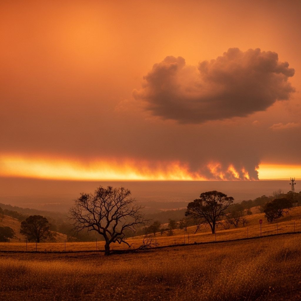
Understanding Fire Weather: Definitions, Monitoring, and Risk Management
Explore how weather conditions drive wildfire risk, how experts monitor fire weather, and why this is crucial for safety and land management.

What Is Fire Weather?
Fire weather describes specific atmospheric conditions—such as temperature, humidity, wind, and lightning—that elevate the risk and behavior of wildfires. These weather parameters critically influence how easily fires ignite, the speed and direction they spread, and the severity of their impact. Recognizing and monitoring fire weather is essential for wildfire preparedness, public safety, and effective land management.
Key Factors of Fire Weather
Fire weather results from a combination of environmental variables that together increase the likelihood and intensity of wildfires. The most significant factors include:
- Temperature: Higher air temperatures dry out vegetation, making it more flammable.
- Relative Humidity: Low humidity draws moisture from fuels like grasses, leaves, and branches, making ignition more likely and fire spread easier.
- Wind: Strong winds supply additional oxygen, push flames forward, and may carry embers over long distances, igniting new fires (known as spotting).
- Precipitation: Lack of recent rainfall dries out vegetation, raising fire risk, while wet conditions can reduce susceptibility to ignition.
- Lightning: Lightning strikes are a major natural cause of wildfires, especially when they occur without accompanying rain (called ‘dry lightning’).
Understanding how these variables interact helps meteorologists and fire agencies predict fire risk and behavior.
How Fire Weather Is Monitored
Monitoring fire weather involves a network of technologies and experts collecting and interpreting atmospheric data. This is crucial for early warning, resource allocation, and shaping land management decisions. The process includes:
- Weather Stations: Automated and manual stations measure temperature, humidity, wind speed and direction, precipitation, and sometimes fuel moisture levels on the ground.
- Remote Sensing: Satellites provide large-scale monitoring of vegetation dryness, lightning strikes, and regional weather patterns.
- Fire Danger Rating Systems: Systems like the National Fire Danger Rating System (NFDRS) in the United States synthesize real-time weather and fuel data to produce fire danger ratings. These ratings inform fire managers and the public of the day’s wildfire risk level.
- Forecast Models: Meteorologists use climate and weather models to forecast changes in fire weather days to weeks in advance, supporting preparation and emergency response.
- Fire Cameras and Sensors: Networks of specialized cameras provide 24/7 surveillance of high-risk areas, detecting smoke or flames at the earliest moment.
Fire Monitoring Levels
Fire agencies use standardized monitoring protocols to collect comparable, actionable data across parks and regions. For example, the National Park Service applies four levels of monitoring, from environmental conditions to detailed long-term ecosystem effects. Higher levels encompass all data from lower levels and add more complex analysis to support resource management and policy decisions.
Fire Weather Watches and Red Flag Warnings
When meteorological conditions suggest an increased danger of wildfire ignition or spread, official warnings are issued to alert the public, fire agencies, and land managers. The chief alerts are:
- Fire Weather Watch: Issued hours or days ahead when critical fire weather is possible—typically 12 to 72 hours in advance. This is a precaution advising heightened preparedness.
- Red Flag Warning: Issued when a dangerous mix of weather conditions is imminent or ongoing (usually within 12-24 hours). This indicates a high probability that fires will ignite easily and spread rapidly.
- Particularly Dangerous Situations (PDS): This uncommon warning highlights extreme, life-threatening fire conditions with the potential for catastrophic outcomes, such as explosive fire growth or widespread power outages.
During Red Flag Warnings, fire departments increase staffing, patrol high-risk zones, and visibly display red flags outside fire stations to alert communities. Public safety agencies also deploy rapid emergency notifications and may conduct evacuations if conditions warrant.
Community and Agency Response
Effective fire weather monitoring triggers wide-ranging community action:
- Activating city- or county-wide emergency protocols and staffing firefighting resources in anticipation of fire outbreaks
- Using public alert systems, like text or phone-based emergency notifications, to warn residents
- Using real-time fire cameras to detect smoke or flame, providing vital situational awareness
- Flying red warning flags outside all city fire stations for visual community alerts
How Fire Weather Affects Wildfire Risk
Fire weather directly influences multiple aspects of wildfire behavior:
- Ignition: Dry, hot, and windy conditions make it easier for a spark—whether natural (lightning) or human-caused—to ignite vegetation.
- Spread: Wind determines the direction and speed of a wildfire’s advance. Fast winds can lead to rapid, unpredictable spread that outpaces firefighting efforts.
- Intensity: Low humidity and high temperatures increase the heat and ferocity of a fire, making it more destructive and difficult to control.
When several dangerous weather indicators occur simultaneously—like strong winds and high temperatures after a long dry spell—the resulting increase in wildfire risk is exponential, not just additive.
Contributing Factors to Dangerous Fire Weather
Fire weather is shaped by a combination of short-term weather events and broader, long-term environmental changes. Notable contributing factors include:
- Prolonged Drought: Persistent lack of rainfall leads to dry fuels and stressed vegetation, primed for ignition.
- Unusually Warm Temperatures: Above-average heat waves intensify evaporation and further dry out the landscape.
- Gusty Winds: Variable, strong winds transport embers and fuel erratic fire movement. Seasonal winds (like California’s Santa Ana or Diablo winds) are especially dangerous.
- Low Precipitation Winters: Seasons with little snow or rain leave forests and grasslands dry and vulnerable at the start of fire season.
- Dry Lightning Storms: Electrical storms that generate lightning but little rain frequently spark wildfires in arid regions.
- Human Activities: Activities such as campfires, fireworks, or power lines during critical fire weather can easily cause catastrophic wildfires.
The National Fire Danger Rating System (NFDRS)
A cornerstone tool for evaluating and communicating daily wildfire risk is the National Fire Danger Rating System, developed in the United States but with similar models used globally. The NFDRS considers real-time inputs—weather, fuel moisture, and past weather—to calculate metrics like ignition probability, fire spread potential, and expected fire intensity.
| Fire Danger Level | Description | Key Actions |
|---|---|---|
| Low | Fires are unlikely except during the hottest, driest weather | Normal monitoring; no special restrictions |
| Moderate | Some fuels could ignite, but fires generally remain small | Increase awareness; limit risky activities |
| High | Fires start easily from most causes and can spread rapidly | Prepare resources, enforce safety measures |
| Very High | Fires ignite easily and spread very fast; intense, dangerous flames | Declare warnings, restrict activities, increase patrols |
| Extreme | Fires start and spread uncontrollably, quickly overwhelming response | Enforce bans, issue public alerts, prepare for evacuations |
These ratings are widely communicated through signs, websites, and media to keep the public and land managers continuously informed.
Climate Change and Fire Weather
The frequency and intensity of dangerous fire weather events are increasing as the global climate changes. Trends include:
- Longer Fire Seasons: Warmer temperatures and earlier snowmelt extend the period during which vegetation is dry and flammable.
- Elevated Drought Frequency: Many regions now experience severe drought conditions more often.
- Greater Weather Extremes: Intense heat waves and erratic wind patterns are becoming more common, raising the risk of catastrophic wildfires.
- Expanding Risk Zones: Places with previously moderate risk, such as parts of northern Europe and Canada, now see severe fire weather and large wildfires.
Experts link these changes to the broader effects of global climate disruptions, indicating a need for improved monitoring and adaptation.
Prevention, Preparedness, and Mitigation
Reducing wildfire risk in the face of dangerous fire weather relies on a combination of expert monitoring, community readiness, and responsible land use:
- Fire-Smart Construction: Building with fire-resistant materials and creating defensible space around structures lessens the chance of fire damage.
- Vegetation Management: Clearing brush, thinning forests, and conducting controlled (prescribed) burns can reduce fuel loads and slow future fires.
- Public Education: Alerting communities about fire weather hazards, safe behaviors during warnings, and evacuation procedures saves lives and property.
- Emergency Planning: Upgrading emergency communication systems, maintaining clear evacuation routes, and proactive community drills improve rapid response during Red Flag events.
Common Fire Weather Terms
- Fire Danger: The combination of fuel, weather, and topography that indicates how easily a fire may start, spread, and do damage.
- Red Flag Warning: Official alert regarding imminent or ongoing critical fire weather conditions.
- Fire Weather Watch: Early alert indicating weather patterns may develop into dangerous fire weather.
- Relative Humidity: The amount of moisture in the air compared to the maximum air can hold at a given temperature; low relative humidity signals heightened risk.
- Fuel Moisture: The water content in vegetation, critical for ignition likelihood.
- Spotting: When embers are carried ahead of a fire by wind, starting new fires at a distance.
- Prescribed Burn: Purposefully set, controlled fires conducted to achieve land management goals.
Frequently Asked Questions (FAQs)
Q: What weather conditions are most critical for wildfire ignition?
A: The most critical conditions for wildfire ignition are high temperatures, low humidity, gusty winds, prolonged dry spells, and lightning strikes—especially when combined or following periods of drought.
Q: How can individuals stay informed about fire weather warnings?
A: Stay informed by signing up for local emergency alerts, following National Weather Service updates, and monitoring county or city notifications. During Red Flag Warnings, watch for red flags at local fire stations and pay attention to media announcements.
Q: What does a Red Flag Warning mean, and what should I do?
A: A Red Flag Warning signals that dangerous fire weather is occurring or will begin soon. During these periods, avoid outdoor burning, use caution with machinery or motor vehicles, and be prepared for rapid fire spread. Follow any restrictions or evacuation orders from authorities.
Q: How does climate change influence fire weather?
A: Climate change contributes to higher temperatures, more frequent and severe droughts, longer fire seasons, and more intense wind and lightning events—each of which increases the frequency and severity of fire weather days.
Q: Can wildfires be beneficial under certain weather conditions?
A: Yes, fires—when carefully managed under safe weather conditions—are used as prescribed burns to promote ecosystem health, reduce fuel loads, and prevent more catastrophic wildfires in the future.
References
- https://afefirecongress.org/wp-content/uploads/2015/05/FireMonitoringHandbook2003.pdf
- https://www.srcity.org/3557/Fire-Weather-Red-Flag-Warnings
- https://www.weather.gov/phi/fire_glossary
- https://www.weather.gov/lot/firewx_definition
- http://www.nwcg.gov/publications/pms437/weather/observing-fire-weather
- http://www.nwcg.gov/publications/pms425-1/fire-weather-pms-425-1
Read full bio of medha deb


