A Raindrop’s Journey: From Cloud to Ocean
Explore a raindrop’s extraordinary path through forests, rivers, and cities—discovering the magic and science of the water cycle.

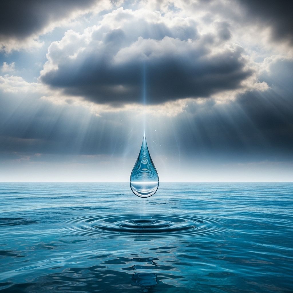
Have you ever wondered what becomes of a single raindrop after it falls to Earth? The story of a raindrop’s voyage from cloud to ocean is a fascinating tale—one that combines natural wonder, environmental science, and the invisible threads connecting all corners of the landscape. With modern mapping tools, you can now trace the magical path of a raindrop as it wends its way through forests, over fields, along rivers, past city streets, and ultimately to the vast embrace of the sea.
The Hidden Life of a Raindrop
Rain is a familiar part of daily life, but each drop starts an adventure shaped by local geography, weather, and the intricate network of streams and rivers that make up a watershed. While it may seem random, the path taken by a raindrop is determined by physics, topography, and the interconnected systems of the planet.
- Watersheds collect rainfall and send it toward rivers and oceans.
- River basins act as vast funnels guiding water downhill by gravity.
- Human activity can shape, redirect, or even pollute these journeys.
Thanks to new digital tools, we can now follow any drop of rain from nearly anywhere on Earth and see its journey to the sea unfold in real time.
Mapping the Path: How Do We Trace a Raindrop?
Until recently, understanding the path of rainwater required a hydrologist’s expertise and painstaking map work. Today, however, interactive digital maps allow anyone with an internet connection to watch the journey of a single raindrop from sky to ocean.
These tools use complex hydrological data and elevation models to simulate how water flows downhill—revealing hidden connections in the landscape and educating users about the interconnected nature of rivers, lakes, and oceans.
What Can These Maps Show?
- The direction water flows from any starting point.
- Rivers and tributaries the drop will join along the way.
- Boundaries of watersheds and river basins.
- The final destination—which may be an inland lake, a large river, or the open ocean.
This technology offers not only scientific insights, but also a new way to appreciate your local environment and how even the smallest drops are part of a much grander cycle.
The Science Behind the Journey: The Water Cycle
The raindrop’s adventure is a chapter in the global water cycle. This continuous process—known as the hydrologic cycle—moves water between the atmosphere, the land, and the seas.
- Water evaporates from land and oceans into the air.
- It condenses into clouds, then falls as precipitation (rain, snow, or hail).
- Once on the ground, some water filters into soil or collects in streams and rivers.
- It eventually flows into larger bodies of water, returning to lakes, rivers, and oceans.
- Evaporation from these large bodies begins the journey again.
A single raindrop is thus part of an endless story, repeated millions of times each day all around the world.
Where Does the Journey Begin?
The adventure typically starts in the clouds, but from a mapping perspective, we’ll start when a drop touches the land. The drop’s first steps are determined by:
- Local topography: Hills and valleys determine which way water moves.
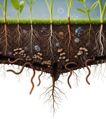
- Soil and vegetation: Some drops are absorbed immediately by thirsty soils or captured by plant roots, while others run over the surface.
- Human infrastructure: Urban development, roads, and drainage systems can dramatically alter a drop’s route.
Wherever a raindrop lands, it will start to flow along the steepest path downhill—following gravity’s pull until it joins a trickle, then a stream, then a river.
Watersheds: The Great Collectors
Every point on Earth’s land surface is part of a watershed—an area of land where all water drains toward a common outlet. Watersheds range in size from just a few square acres to vast regions covering thousands of miles.
- Small creeks join to form larger streams.
- Streams combine to create rivers.
- Rivers eventually pour into lakes, seas, or directly into the ocean.
Watershed boundaries—also known as divides—are often invisible, but they’re of immense importance for ecology, water management, and sometimes even international politics.
River Basins and Major Divides
- River basins (like the Mississippi or Amazon) are huge drainage areas defined by their main rivers.
- Continental divides separate waters flowing toward different oceans (e.g., Atlantic vs. Pacific).
These natural boundaries mean that the fate of a raindrop can differ dramatically depending on which side of a hilltop it lands.
Distinct Journeys: Landforms, Obstacles, and Surprises
Not all raindrop paths are equal. A drop that lands in a mountaintop forest may head swiftly downhill, while one in a prairie puddle might linger in place or evaporate before joining a stream. Some paths wind for hundreds of miles before merging with the sea; others get swallowed by thirsty ground or lost in wetlands.
- Mountain regions: Fast erosion and dramatic waterfalls speed the journey.
- Flat plains: Water can meander sluggishly, pooling in wetlands or seasonal ponds.
- Cities: Pavement accelerates runoff; stormwater systems quickly funnel water to rivers.
- Forest and soil: Some water infiltrates and becomes groundwater, re-emerging later in springs or wells.
City Surfaces vs. Wilderness Pathways
The trip taken by a raindrop in a wild, forested landscape is very different from its travels through streets and parking lots.
| Wilderness | Urban Environment |
|---|---|
| Absorbed by roots and soil | Runs off impervious surfaces (asphalt, concrete) |
| Moves slowly, filtered by ecosystems | Faster flow via storm drains, less filtering |
| Purified before reaching streams | More likely to carry pollution, debris |
| Supports wildlife and groundwater | Limited support for ecosystems |
This difference underscores the importance of green spaces and smart city planning for healthy watersheds.
Human Influence: How We Alter Raindrop Journeys
Though gravity is timeless, people have dramatically altered how water moves across the Earth. Dams, canals, levees, parking lots, and agriculture can redirect, detain, or even contaminate water en route to the sea.
- Urbanization: More pavement means more runoff, less absorption.
- Dams and reservoirs: Interrupt natural flow, create lakes, store water for power and irrigation.
- Agriculture: Uses irrigation systems; runoff may carry fertilizers and pesticides.
- Pollution: Industrial and urban runoff can degrade water quality all along the journey.
Yet, people can also restore or preserve the natural functions of watersheds through conservation, wetland restoration, and sustainable city design.
Ultimate Destination: Arrival at the Ocean
However meandering the route, most surface water on Earth is eventually pulled by gravity toward the sea. Once in the ocean, water can:
- Evaporate once more, rejoining the atmospheric portion of the water cycle.
- Mix with global ocean currents, traveling vast distances across the globe.
- Support marine ecosystems—every river’s mouth is critical habitat for countless species.
Some water never reaches the ocean—trapped in lakes, ice fields, or deep groundwater aquifers. But for our raindrop, the journey is complete as it merges into the endless blue.
Mapping Our Way: Tools to Watch a Drop’s Journey
One of the most exciting educational resources today is the interactive raindrop journey map. These tools allow users to:
- Click on any location and watch a virtual raindrop’s route to the ocean.
- See how water navigates rivers, lakes, city infrastructure, watershed divides, and more.
- Explore data on river speeds, basin sizes, human impacts, and ecological features along the way.
These maps are built on vast datasets collected from satellites, river gauges, and digital elevation models, synthesizing vast amounts of information into a visual story anyone can follow.
Why Does Following a Raindrop Matter?
Understanding the journey of a raindrop isn’t just a scientific curiosity—it’s essential for:
- Protecting water resources: Healthy watersheds deliver clean water for drinking, farming, and wildlife.
- Flood prevention: Knowing how and where water moves can help manage storms and reduce disasters.
- Pollution control: Tracking water paths can target pollution prevention and cleanup efforts.
- Education: Inspiring students and citizens to appreciate the interconnectedness of the environment.
Ultimately, each of us lives within and depends upon a watershed—making every raindrop’s journey relevant and meaningful.
Frequently Asked Questions (FAQs)
Q: What is a watershed?
A watershed is an area of land where all precipitation and runoff collects and flows to a single outlet, such as a river, lake, or ocean. Watersheds encompass everything from small creeks to vast river systems.
Q: Do all raindrops reach the ocean?
Not every drop reaches the ocean. Some are absorbed by soil, taken up by plants, evaporate, or settle into lakes and underground aquifers. However, most surface water is eventually pulled downhill toward the sea.
Q: How do humans change water pathways?
Construction, agriculture, and infrastructure like dams and sewers redirect, detain, or accelerate water flow. These changes can impact flooding, pollution, and the health of ecosystems.
Q: What can I do to protect my local watershed?
Simple actions—like reducing pesticide use, maintaining greenspaces, and supporting wetland conservation—help keep water clean and slow runoff, benefiting your entire watershed.
Q: Are there tools to trace a raindrop’s journey from my location?
Yes, several online maps now let you click anywhere and trace the likely path of a raindrop from that spot to the ocean, highlighting all the rivers, lakes, and obstacles along the way.
Embracing the Magic and Science of Raindrops
Every drop of rain tells a story about Earth’s living systems, its landscapes, and our place within them. With the magic of digital mapping and a deeper understanding of the water cycle, we can all appreciate how something as small as a raindrop shapes the future of our world. The next time you feel the rain, imagine the invisible map unfolding beneath your feet—a timeless journey from sky to sea.
References
Read full bio of Sneha Tete


