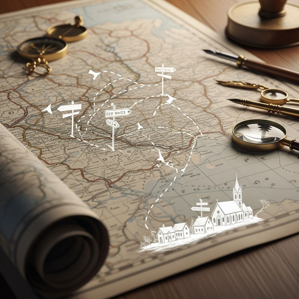
Paper Towns, Phantom Roads, and Secret Map Lies: The Strange Truths Behind Our Maps
Explore how phantom towns, fake roads, and deliberate cartographic traps blur the line between fact and fiction on our maps.

Maps shape how we perceive the world. We consult them to find our way, argue over borders, and illuminate the contours of our cities and countryside. But lurking beneath the surface of that familiar grid are invisible towns, phantom roads, and intentional errors—each hiding its own peculiar story. Welcome to the curious world of map lies, where fact and fiction intersect, and a simple place name can unravel the mysteries of mapping history.
The Quirky World of Paper Towns
Not every place on a map is real. Paper towns—also known as phantom settlements—are nonexistent places mapmakers have inserted intentionally onto maps. Far from being simple mistakes, these fictional locations are copyright traps, designed to catch competitors or plagiarists lifting someone else’s work without permission.
- Argleton: Once nestled on Google Maps in Lancashire, England, Argleton appeared as a legitimate town, complete with local business listings and job offers. But those who visited its supposed site found nothing more than an empty field. Ultimately, it was removed after its fictional nature was exposed.
- Agloe, New York: Perhaps the most famous paper town, Agloe was the invention of mapmakers Ernest Alpers and Otto Lindberg, who scrambled together the initials of their names. This phantom locale accidentally became real when a general store named after Agloe opened near the charted location—an extraordinary twist where fiction influenced reality.
- Mo Lane, London: In North London, Mo Lane appeared as a winding road in Finchley. However, explorers found nothing but foliage; this was one of over a hundred so-called paper streets in London, planted to mitigate copyright theft.
Why Create Fake Places?
Mapmaking is as much art as it is science. Constructing a map from scratch involves years of field work or detailed analysis of satellite imagery—a painstaking process prone to imitation. Because plagiarists can easily copy most visible details, mapmakers plant unique, false features like invented towns, subtle bends in roads, or fictitious mountain peaks. If a rival’s map carries the same anomaly, copyright theft is revealed.
This practice has a long legacy. Even authoritative mapping companies and digital platforms have found themselves unwitting carriers of others’ cartographic Easter eggs.
Fake Roads, Paper Streets, and Phantom Paths
Beyond imaginary towns, maps are also dotted with phantom roads or paper streets—planned but unbuilt paths that exist solely on paper. These ‘roads’ may have legal standing but never materialize on terrain, leading to current confusion for hikers and drivers alike.
- Unformed Legal Roads in New Zealand: The country boasts over 30,000 miles of such paths—officially legislated but never constructed. They traverse wild forest, making them impassable by conventional means.
- ‘Goblu’ and ‘Beatosu,’ Ohio: As a prank, editors added these fictitious towns to Michigan’s 1979 highway map, a mischievous nod to their university football allegiances.
Errors, pranks, and copyright traps have spawned a motley landscape of non-existent roads visible on both digital and paper charts. Even modern GPS can fall for these illusions, sometimes directing travelers onto routes that do not exist at all.
The Many Faces of Map Errors
Maps can mislead unintentionally too, through:
- Simple mistakes: Human error in copying information or misreading data.
- Obsolete detail: Cities grow, merge, or disappear, but outdated information lingers.
- Subjectivity and selectivity: Choices about what to show are influenced by the map’s purpose, scale, and even the cartographer’s artistic judgment.
All these result in a rich array of map oddities, some amusing, some frustrating, and some reminders of the mutable nature of geography as presented to us.
Case Studies: Famous Cartographic Fabrications and Blunders
Agloe, New York: The Town That Became Real
Originally nothing but an anagram made from the initials of General Drafting Company mapmakers, Agloe started as a copyright trap in the 1930s. The twist came when a business actually opened at its named location, believing the map to be accurate. When Rand McNally and ESSO added Agloe to their maps citing the ‘Agloe General Store’ as evidence, the imaginary became real—blurring the boundaries between fact and fiction in cartography.
Argleton, England: The Digital Paper Town
First noticed in the 2000s, Argleton made waves for appearing on Google Maps, complete with listings and addresses. Investigations uncovered its total absence in the real world. The name is an almost anagram for ‘Not Real G,’ possibly an inside joke. Once exposed, Google deleted Argleton, but it sparked worldwide amusement and confusion while it lasted.
Mo Lane and London’s Paper Streets
A BBC documentary revealed that London contains more than a hundred such phantom streets—names on maps with no physical presence. This proliferation of fictitious streets in the UK’s capital shows the lengths to which cartographers have gone to protect their intellectual property or fill gaps in shifting urban landscapes.
Mount Richard, Colorado: The Phantom Peak
Maps in the early 1970s depicted a non-existent peak named ‘Mount Richard’ in Boulder County, confusing climbers and hikers until it was exposed as a deliberately planted error.
Bero Island: The Lost Isle of Maps
Bero Island appeared on many sixteenth and seventeenth-century maps, pursued by Spanish explorers and charted as a mysterious, presumably inhabited isle. Its repeated failures to be discovered eventually convinced later mapmakers to erase it, demonstrating that map errors and fabrications are as much a part of history as accuracy.
Why Are Maps So Prone to These Oddities?
Maps are at once powerful tools and human creations—they reflect the priorities, quirks, and limitations of their makers. This makes them vulnerable to intentional deception, honest error, and all manner of subjective judgment calls. Some of the underlying reasons include:
- Competition and copyright concerns: Mapmakers protect their data by planting intentional errors.
- Frequent revision cycles: As places change or new data becomes available, errors creep in—sometimes left uncorrected for years or decades.
- The limitations of surveying and technology: Early maps were often compiled from unreliable sources, and even modern maps can encounter data import problems.
- Human interpretation: What is deemed important or worthy of inclusion is ultimately a choice—and not all choices agree.
How Map Lies Are Detected and Corrected
Spotting a paper town or phantom road is not always simple. Sometimes, it takes the curiosity of the public or investigators, and other times, accidental discovery happens when someone attempts to visit or use a non-existent place. Once such errors (or fictions) are exposed, reputable mapping agencies usually act swiftly to correct the record, but sometimes, the legend endures far longer than the error itself.
The Legacy of Cartographic Fiction
Some fake places, like Agloe, have become minor tourist attractions or featured as cultural references in literature (such as the novel ‘Paper Towns’ by John Green). The stories of these places remind us—maps are not just navigational tools but repositories of human creativity, foibles, and humor. Their very existence calls into question our assumptions about what is ‘real’ versus what is simply plotted onto a page.
From Paper Maps to Digital Platforms: Are Modern Maps Immune?
Today, with the rise of satellite imagery and big data, you might imagine such deception is impossible. However, digital maps still fall prey to old tricks and new errors alike. Data imports from authoritative sources can perpetuate mistakes or transmit phantom features from one platform to another. What appeared as novel, hand-crafted errors years ago can now propagate globally in an instant.
- Google Maps once listed Argleton as a real town, complete with business and apartment listings that referenced nearby settlements, showing that even the giants can be caught out.
- Modern checks and crowdsourced error reporting help minimize such quirks, but vigilance and skepticism remain key for the discerning map user.
What Shapes a Map: The Art and Subjectivity of Cartography
Perhaps the most important takeaway is that maps are human documents. While technology can aid in precision, there is no truly objective map. Cartographers decide what to include or omit, based on purpose, scale, and intent. Even the selection of which river or peak ‘matters’ enough to chart is a product of human judgment.
This subjectivity is not necessarily bad—maps are a distillation, helping us see what is relevant for a particular use. But it does mean we should always approach maps—as with any source—with curiosity and caution.
Table: Famous Phantom Places and Map Lies
| Fictional Place | Location | Type of Fabrication | Outcome |
|---|---|---|---|
| Argleton | England | Paper Town | Exposed and removed from digital maps. |
| Agloe | New York, USA | Paper Town/Copyright Trap | Became a real location after a store opened there. |
| Mo Lane | London, UK | Paper Street | Persisted on maps for years; non-existent physically. |
| Mount Richard | Colorado, USA | Fictional Peak | Confused climbers before being revealed as a trap. |
| Bero Island | Atlantic Ocean | Phantom Island | Hunted and eventually erased from maps. |
Frequently Asked Questions (FAQs)
Q: What is a paper town?
A: A paper town is a fictitious town or road added to maps deliberately by cartographers as a copyright trap, meant to identify unauthorized copying.
Q: Are paper towns only found on old maps?
A: No, even modern digital maps have inadvertently incorporated paper towns or phantom roads through data imports and historical errors.
Q: Do other map errors occur besides deliberate fakes?
A: Yes, maps are subject to unintentional mistakes such as misreadings, outdated data, and subjective decisions about what to include or emphasize.
Q: Can you visit a paper town?
A: Most paper towns are entirely imaginary and have no physical presence. However, a few, like Agloe, have inspired real-world landmarks or tourist visits.
Q: Why don’t mapmakers just correct all these errors?
A: Many errors persist through reliance on outdated sources or overlapping data between mapping agencies. Once exposed, most reputable companies do update their maps, but some legends endure out of tradition or oversight.
References
Read full bio of medha deb


