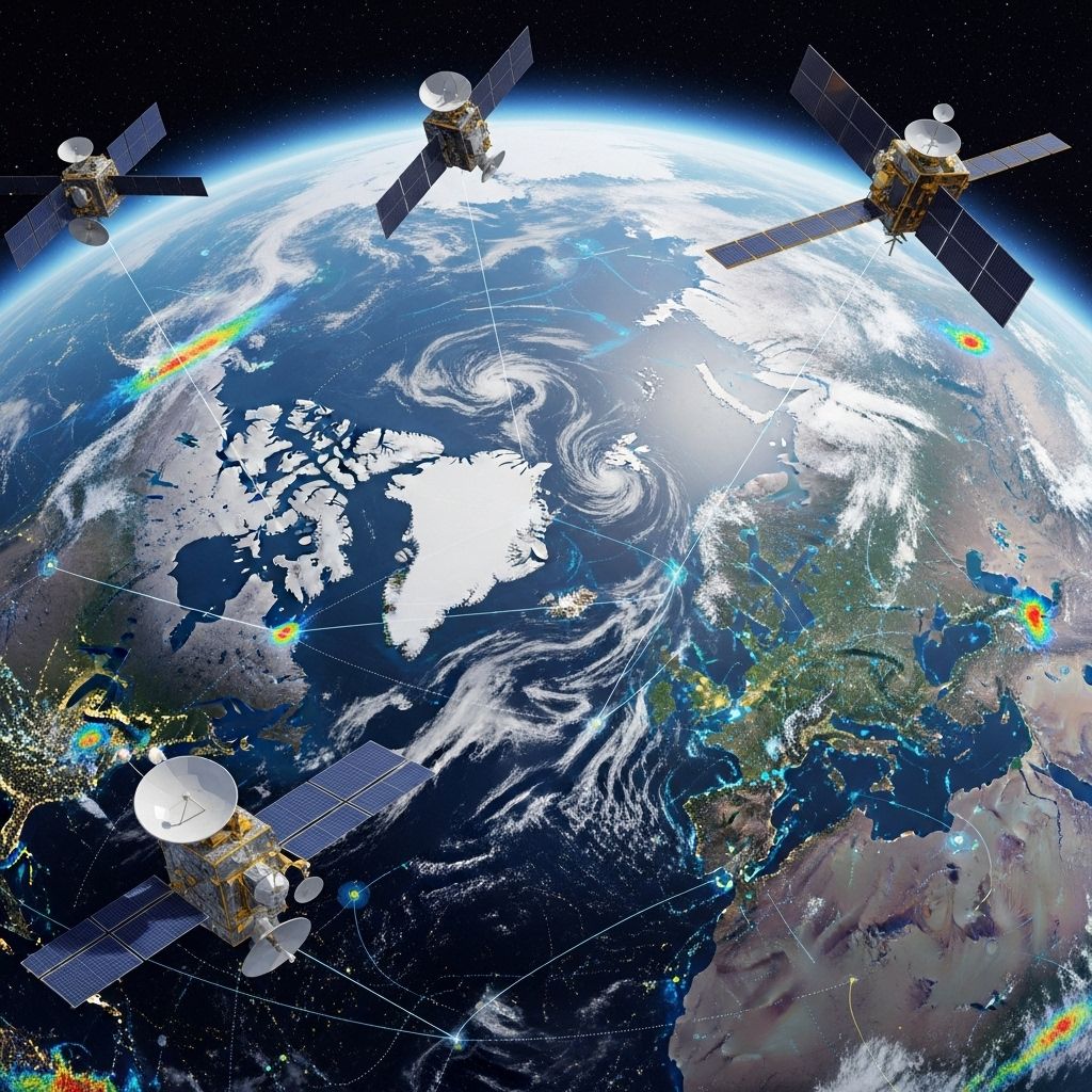
Earth-Observing Satellites: Mapping Our Dynamic Planet
Exploring how Earth-observing satellites reveal, monitor, and protect our changing world in space and time.

Earth-Observing Satellites: A Revolution in Global Monitoring
Earth-observing satellites orbit our planet, continuously gathering vital data about Earth’s surface, atmosphere, and oceans. These advanced technological tools allow scientists, governments, and businesses to track changes in the environment and address critical global challenges. From identifying deforestation to monitoring natural disasters and understanding climate change, these satellites offer unprecedented insights into the health and transformation of our world.
Contents
- What Are Earth-Observing Satellites?
- How Do Earth-Observing Satellites Work?
- A Brief History of Earth Observation
- Key Technologies and Sensor Types
- Major Earth-Observing Satellite Programs
- Real-World Applications
- Challenges and Limitations
- Future Trends in Earth Observation
- Frequently Asked Questions
What Are Earth-Observing Satellites?
Earth-observing satellites are unmanned spacecraft equipped with specialized sensors that collect data about Earth’s physical, chemical, and biological systems from orbit. By systematically scanning the globe, these satellites help track environmental changes, map natural resources, monitor disasters, and improve our understanding of planetary processes.
- Remote sensing refers to the collection of information from a distance, usually using electromagnetic waves.
- Satellite imagery comprises photons captured by onboard sensors and then processed into usable visual or analytical data.
- Global coverage: Unlike ground or airborne observation, satellites can view even the most inaccessible regions, such as polar ice caps, vast forests, deserts, and open oceans.
How Do Earth-Observing Satellites Work?
Satellites in Low Earth Orbit (LEO), usually between 500 and 900 kilometers above the surface, follow predictable paths that allow them to scan wide swaths of the planet over regular time intervals. They employ different sensors, capturing reflected sunlight, emitted thermal radiation, or radar “echoes” to create images or other datasets. These satellites relay data back to ground stations, where analysts convert raw signals into meaningful information for science and practical decision-making.
- Orbits: Common operational orbits include sun-synchronous (same local solar time), polar, and geostationary orbits, each optimized for specific types of observations.
- Revisit time: The frequency with which a satellite observes the same location again, ranging from daily to several weeks, depending on the platform.
- Pixel walking: Innovative projects combine fieldwork with satellite data by trekking scientists who record ecological changes on the ground, directly calibrating satellite findings with local observations.
A Brief History of Earth Observation
The story of Earth observation began in the mid-20th century, evolving rapidly alongside technological advancements in rocketry, optics, and digital computing.
- 1960s: Early reconnaissance satellites like the CORONA program provided first glimpses of Earth from above.
- 1972: NASA launches Landsat 1, inaugurating the world’s longest continuous record of global land imagery.
- 1990s-2000s: High-resolution commercial satellites (e.g., IKONOS, QuickBird) expand data availability for private sector and research.
- Present: Dozens of operational systems (NASA, ESA, NOAA, JAXA, private operators) produce vast, diverse Earth data streams, supporting everything from weather forecasting to sustainable resource management.
Key Technologies and Sensor Types
Modern Earth-observing satellites deploy a range of sensors to detect various characteristics of Earth’s surface and atmosphere. Each sensor type brings unique strengths to scientific and practical applications.
| Sensor Type | Detection Principle | Main Applications |
|---|---|---|
| Optical / Multispectral | Detects reflected sunlight in multiple wavelength bands | Vegetation mapping, land cover classification, water quality |
| Thermal Infrared | Measures heat radiating from surfaces | Climate analysis, wildfire detection, urban heat monitoring |
| Synthetic Aperture Radar (SAR) | Emits microwave pulses, reads backscattered signals | Terrain mapping, forestry, flood assessment, soil moisture |
| Lidar | Laser pulses measure elevation and topography | Forest structure, glacier profiles, 3D mapping |
| Hyperspectral | Records hundreds of narrow wavelength bands | Mineral exploration, crop health, pollution identification |
- Multispectral imaging: Platforms like Landsat and Sentinel-2 provide key data for ecosystem monitoring, with several spectral bands at resolutions from 10 to 30 meters.
- SAR systems: L-band SAR (e.g., SAOCOM-1, ALOS-2) penetrates forest canopies, supports forest height and biomass mapping, and aids disaster monitoring.
- Integration: Combining different sensor datasets creates richer, multi-layered insights into ecosystem processes.
Major Earth-Observing Satellite Programs
Several flagship satellite programs drive global Earth observation:
- Landsat Program (NASA/USGS): Since 1972, Landsat has continually mapped Earth’s land surfaces and provided free imagery crucial for science and policy.
- Sentinel Missions (ESA): The European Union’s Copernicus Programme operates Sentinel-1 (SAR), Sentinel-2 (multispectral), and Sentinel-3 (ocean and land color, temperature, altimetry), offering broad open-access datasets.
- MODIS (NASA): Moderate Resolution Imaging Spectroradiometer aboard Terra and Aqua satellites supplies daily global data on vegetation, atmospheric aerosols, and ocean color.
- VIIRS (NOAA): Visible Infrared Imaging Radiometer Suite flies on Suomi NPP and NOAA satellites, vital for weather, climate, and environmental monitoring.
- Commercial platforms such as Maxar’s WorldView series, Planet’s Dove fleet, and Airbus’s SPOT satellites contribute high-precision imagery for industries, governments, and researchers.
Real-World Applications
Earth observation satellites support innumerable applications critical to the environment, economy, safety, and daily life.
- Climate Change Analysis: Track shifts in temperature, ice cover, sea level, and atmospheric gases to inform international policy and local adaptation efforts.
- Naturally Occurring Disasters: Enable rapid disaster response by mapping floods, fire spread, earthquake damage, and hurricane paths in near real-time.
- Deforestation and Ecosystem Health: Monitor forest cover, greening, and loss; support sustainable supply chains by tracking timber, cocoa, and palm oil sourcing.
- Urban Growth Management: Chart urban expansion, infrastructure development, and population distribution to guide city planning.
- Water Resources: Measure lake area, river sedimentation, groundwater changes, and water quality for sustainable management.
- Agriculture: Forecast crop yields, assess drought stress, optimize irrigation and precision farming.
- Wildlife and Conservation: Support biodiversity studies, animal migration analysis, and the protection of endangered habitats.
- Public Health: Track diseases linked to land cover changes, such as malaria or dengue fever vectors.
- Business Intelligence: Insurers, logistics, and commodity traders leverage satellite data for weather risk finance, route planning, and resource surveillance.
Challenges and Limitations
While Earth-observing satellites provide powerful global perspectives, their operation and analysis encounter notable constraints.
- Cloud cover: Obstructs optical sensor readings and can mask surface features.
- Resolution trade-offs: Higher spatial resolution means smaller coverage and more data to process, while lower resolution enables broader imaging but less detail.
- Data interpretation: Satellite signals measure reflectance and emission, but on-the-ground confirmation (‘ground truth’) is crucial to link changes to actual processes.
- Cost and complexity: Developing, launching, and maintaining satellites involves significant investment and expertise.
- Privacy and sovereignty: Some data policies and national security interests can restrict access to imagery or analytical results.
Future Trends in Earth Observation
The future of Earth observation technology is poised for dramatic evolution, driving deeper understanding and sustainable solutions.
- Increased Resolution and Coverage: New satellites will offer sharper images and scan the Earth more frequently, improving rapid response and scientific accuracy.
- Artificial Intelligence: Machine learning will automate feature detection, change analysis, and prediction, making massive datasets more useful and timely.
- Democratized Data Access: Open government and commercial policies make satellite imagery available to non-profits, local agencies, and even citizen scientists, spurring innovation.
- Integration with In-Situ Observations: Combining boots-on-the-ground measurements (pixel walking) with satellite datasets produces ever-more reliable insights into ecosystem health.
- Emerging Sensors: Hyperspectral, hyperspatial, atmosphere-specific, and miniaturized satellites (CubeSats) will expand the scope of possible observations.
Frequently Asked Questions (FAQs)
Q: What is the main advantage of Earth-observing satellites over ground-based monitoring?
A: Satellites view vast and inaccessible areas globally, allowing continuous and consistent monitoring of environmental changes that would be extremely difficult or costly to observe from the ground.
Q: How do satellites detect changes in ecosystems like forests or wetlands?
A: Sensors record how vegetation reflects or emits light or radar signals. Analysts compare time-series data to spot changes in structure, greenness, extent or moisture, often calibrating results with field measurements.
Q: Can commercial businesses benefit from Earth observation satellite data?
A: Yes, industries use the data for environmental compliance, resource monitoring, disaster resilience, supply chain management, and competitive intelligence.
Q: What are the environmental impacts of launching satellites?
A: Satellite launches produce carbon emissions and create orbital debris, but advances in launch vehicle efficiency and satellite end-of-life management seek to address these concerns.
Q: How does ‘pixel walking’ help calibrate satellite data?
A: Scientists trekking and recording local ecological changes match ground observations to satellite pixels, improving accuracy by confirming what is actually changing on Earth’s surface.
Conclusion
Earth-observing satellites have transformed humanity’s relationship with the planet. By tracking changes across continents, oceans, and atmospheres, these orbital sentinels empower modern science, policy, and even industry to address environmental challenges with precision and global awareness. As technology progresses, the expanding capabilities of satellites will continue to shape our stewardship of Earth, connecting the view from space to actions on the ground.
References
- https://science.nasa.gov/blogs/earth-expeditions/2021/10/06/too-remote-too-wild-and-too-cold-helping-satellites-see-arctic-greening-with-boots-on-the-ground/
- https://ceos.org/document_management/Publications/Publications-and-Key-Documents/Cross-Cutting/EETT%20White%20Paper%20V1.1%202023-12-04.pdf
- https://www.weforum.org/stories/2025/01/5-uses-earth-observation-satellite-data-for-business-and-planet/
Read full bio of Sneha Tete


