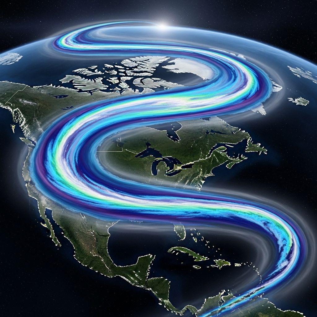
Atmospheric Rivers Now Ranked for Intensity: New Category System Explained
Discover how ranking atmospheric rivers like hurricanes helps communities prepare for storms that can bring both vital water and dangerous floods.

Atmospheric Rivers: ‘Rivers in the Sky’ Receive a New Category Ranking
Atmospheric rivers (ARs)—long, narrow corridors of concentrated water vapor in the atmosphere—have become headline news for their intense impacts on weather around the world. These bands can deliver both life-giving rain and devastating floods, especially in regions like California and British Columbia. Recognizing their growing impacts and the challenges of forecasting them, scientists have introduced a new ranking system for atmospheric rivers, similar to the categories used for hurricanes. This structured approach aims to empower communities, farmers, water resource managers, and emergency responders to distinguish between a drought-busting rain event and a dangerous, flood-prone storm.
Table of Contents
- What Are Atmospheric Rivers?
- Why Rank Atmospheric Rivers?
- How Are Atmospheric Rivers Ranked?
- Benefits and Hazards of Atmospheric Rivers
- Climate Change: Intensifying Atmospheric Rivers
- Advances in Forecasting ARs
- Atmospheric River Ranks and Their Real-World Impacts
- Frequently Asked Questions (FAQs)
What Are Atmospheric Rivers?
Atmospheric rivers are massive, flowing bands of moisture in the atmosphere, sometimes stretching thousands of kilometers from the tropics toward higher latitudes. Known colloquially as ‘rivers in the sky,’ they often have the following characteristics:
- Length: Can extend over 3,000 km (about 2,000 miles).
- Width: Usually only a few hundred kilometers wide, but transport vast amounts of water vapor.
- Moisture Transport: The most intense ARs can move more than twice the flow of the Amazon River in terms of water vapor content.
- Frequency: Especially common and impactful on the west coasts of continents, notably California, Oregon, and British Columbia.
These systems are not rare. In fact, they account for a significant portion of annual precipitation in affected regions and are suitable for replenishing water reservoirs and snowpack.
Why Rank Atmospheric Rivers?
Atmospheric rivers can behave in dramatically different ways depending on their moisture content and duration. While some bring necessary rainfall, others can unleash torrents resulting in significant damage to infrastructure, agriculture, and even loss of life. Traditionally, there was no universally recognized way to gauge an AR’s anticipated intensity or risk. Introducing a formal ranking system brings several benefits:
- Public Awareness: Provides a clear, situational understanding of incoming weather, much like the hurricane category system.
- Preparedness: Allows communities, agencies, and first responders to anticipate and plan for impacts more effectively.
- Water Resource Management: Assists regional water managers in balancing water capture with flood prevention.
- Global Benchmarking: Enables meaningful comparisons of storm severity across different regions and time periods.
How Are Atmospheric Rivers Ranked?
The ranking system for atmospheric rivers is modeled on the 1 to 5 scale used for hurricanes, but is based on two key factors:
- Duration: How long the AR remains over a region.
- Integrated Water Vapor Transport (IVT): A metric quantifying the volume of water vapor being carried by the AR. The higher the IVT, the more potential for intense precipitation.
Duration is a crucial element: a weak AR that lasts a long time can be promoted to a higher category, while a strong but brief event might be downgraded. The categories are:
| Category | Name | Typical Impacts |
|---|---|---|
| 1 | Weak | Generally beneficial. Modest precipitation aiding water supply with minimal flooding risk. |
| 2 | Moderate | Mostly beneficial. Useful for replenishing water supplies, snowpack, and soil moisture. Limited damaging impacts. |
| 3 | Strong | Can be hazardous if prolonged, but otherwise brings substantial water benefits. Enhanced flood and landslide risk in vulnerable areas. |
| 4 | Extreme | Primarily hazardous. Significant risk of flooding, landslides, and infrastructure damage. Disaster readiness required. |
| 5 | Exceptional | Predominantly dangerous. Catastrophic flooding/losses possible; emergency interventions often necessary. Water supply benefits lost to flood damage. |
If an AR lasts more than 48 hours, It can be promoted by one category; if less than 24 hours, it may be demoted by one. This flexible definition accounts for the compounded effects of long-duration rainfall events.
Benefits and Hazards of Atmospheric Rivers
Atmospheric rivers are critically important to global and regional water cycles, particularly for regions dependent on seasonal rainfall and snowpack.
- Benefits:
- Supply up to 50% of annual rainfall or snowpack in places like California and the Pacific Northwest.
- Help break droughts and sustain agricultural production.
- Hazards:
- Responsible for the majority of flood damages in many regions—over 80% of levee breaches in California’s Central Valley are attributable to landfalling ARs.
- Trigger landslides, mudflows, and structural damage, especially where soils are saturated or hillsides are unstable.
- Economic losses rise by a factor of 10 with each step up the rank, with Category 5 ARs linked to damages topping $260 million for the Western U.S. alone.
The key takeaway: Not all atmospheric rivers are destructive, but the ones that are require timely warnings and decisive planning.
Climate Change: Intensifying Atmospheric Rivers
Research over the past decades has established a robust connection between climate change and the frequency and intensity of atmospheric rivers:
- More Moisture, More Intensity: Warmer air holds more water vapor, enabling ARs to transport unprecedented moisture loads. This amplifies their precipitation potential upon landfall.
- Rising Frequency of Extreme Events: Studies show the number and duration of the strongest ARs have increased sharply. In some regions, the frequency of ‘extreme’ or Category 4/5 AR events has jumped by as much as 50% in the last 40 years.
- Implications: Greater risk for flooding, longer-lasting events, and higher economic and safety threats for communities exposed to these downpours.
Table: Observed Trends in Atmospheric Rivers Due to Climate Change
| Metric | Observation Period | Key Findings |
|---|---|---|
| Frequency of Extreme ARs | Last 40 years | Up to 50% increase in some regions |
| Moisture Content | Recent decades | Significant increase observed |
| Average Duration | Recent decades | Events are longer, compounding flood impact |
Advances in Forecasting ARs
With the introduction of ranking and classification for atmospheric rivers, forecasting and monitoring systems have also advanced. Highlights include:
- Coastal Observatories: New networks of sensors and radars along the West Coast of North America (such as at Twitchell Island and the State Water Project’s Thermalito Complex in California) track ARs in real time.
- Satellite Data: Tools like NASA’s Atmospheric Infrared Sounder (AIRS) allow scientists to track AR development and trajectory across oceans and continents—giving days or even weeks of lead time.
- Improved Models: Integration of advanced climate models enables forecasters to incorporate observations about AR intensity and duration, leading to better preparedness.
- Global Application: The AR ranking scale is now being applied beyond North America, fostering greater global situational awareness and collaborative research.
With these innovations, meteorologists and emergency managers have more effective tools than ever to alert and protect vulnerable populations.
Atmospheric River Ranks and Their Real-World Impacts
The table below summarizes the practical differences among AR categories and what they typically mean for affected regions and communities:
| AR Category | Duration | Potential Benefits | Potential Hazards | Estimated Economic Impact* |
|---|---|---|---|---|
| 1 (Weak) | <24 hours | Useful moisture, water supply boost | Minimal | $0–$1 million |
| 3 (Strong) | 24–48+ hours | Replenishes reservoirs and aquifers | Localized flooding, landslides | $25–$50 million |
| 5 (Exceptional) | >48 hours | Little to none (outweighed by damage) | Widespread/catastrophic flooding, infrastructure failure | Upwards of $260 million |
*Estimates based on trends observed in the Western United States; actual figures can vary by region and year.
Frequently Asked Questions (FAQs)
Q: What makes an atmospheric river different from a typical storm?
A: Atmospheric rivers are distinguished by their concentrated, band-like flow of moisture—often spanning several countries—and their capacity to deliver large volumes of rain or snow in a relatively short period, far exceeding most ordinary storms in water content.
Q: Are atmospheric rivers exclusive to the Pacific Coast?
A: No. While most research and media focus on the west coast of North America, atmospheric rivers occur globally, from South America to Europe and Australia, and increasingly are being studied and ranked elsewhere.
Q: How does the AR ranking help people?
A: The AR ranking system provides an early warning for potentially dangerous storms, enabling individuals and officials to anticipate and take preventive action to reduce flood risk or take advantage of beneficial rainfall.
Q: Has climate change really intensified atmospheric rivers?
A: Yes. Multiple studies confirm that as the planet warms, atmospheric rivers not only become more frequent but also carry more moisture, leading to stronger and potentially more hazardous events.
Q: What should communities do to adapt to stronger, more frequent ARs?
A: Adaptation strategies include upgrading levees and drainage infrastructure, improving land-use planning to reduce landslide risk, investing in advanced early-warning systems, and developing water management policies that account for both drought and flood scenarios.
Q: Can the AR ranking system prevent flood disasters?
A: While the ranking system cannot prevent storms, it plays a critical role in preparedness and mitigation by providing timely, accurate forecasts and actionable information to reduce damage, guide emergency responses, and inform long-term planning.
Atmospheric rivers, now ranked with greater precision than ever before, are a vital force in both sustaining and challenging our communities. Understanding their scale and significance is key to thriving in an era of changing climate and increasing weather extremes.
References
- https://water.ca.gov/News/Blog/2019/Feb-19/New-Scale-for-Atmospheric-Rivers-Impact
- https://www.youtube.com/watch?v=A-RjoPoMkAY
- https://www.jpl.nasa.gov/news/ranking-atmospheric-rivers-new-study-finds-world-of-potential/
- https://greenly.earth/en-us/blog/ecology-news/what-are-atmospheric-rivers
- https://cw3e.ucsd.edu/arscale/
- https://www.usgs.gov/news/new-scale-characterize-strength-and-impacts-atmospheric-river-storms
- https://agupubs.onlinelibrary.wiley.com/doi/full/10.1029/2022JD037180
- http://www.climatehubs.usda.gov/hubs/northwest/topic/atmospheric-rivers-northwest
Read full bio of Sneha Tete


